Welcome to the Durham NH Police Incident Map
Welcome to the UNH/ Durham CrimeMap website, a helpful tool for anyone interested in the geospatial display of law enforcement data on violations and arrests in the town of Durham, NH and at the University of New Hampshire.
Geospatial data displays are often used to detect patterns and trends over time and space. Citizens, town administrators, community leaders, law enforcement, students and university administrators may discover useful applications for the geospatial displays available on this site.
We are grateful to Chief Paul Dean of the UNH Police Department and Chief David Kurz of the Durham Police Department for their collaborative efforts to make this site possible.
View Map
Map Incidents
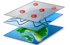
See incidents grouped on a map and then save the map as an image using our screenshot tool. You can also switch tile layers to satellite imagery and use our graphing tool to explore search results in greater detail.
Graph Incidents

Graph incidents over time ranges. See most common offenses and filter data using our graphing tools. Features include filtering incidents and downloading graphs in multiple formats.
View Spreadsheets
View list of incidents and download them from applied filters. A complete download of incidents is available.